CyStellar is a geospatial intelligence company on a mission to deliver real-time insights for the insurance, logistics and agriculture sector to support data-driven strategic and operative decision making.
+46 720 430314
Email: [email protected]
CyStellar
London UK
CyStellar Ceres
Transforming Data into Insights
A Cloud-Based Crop and Farm Management Solution
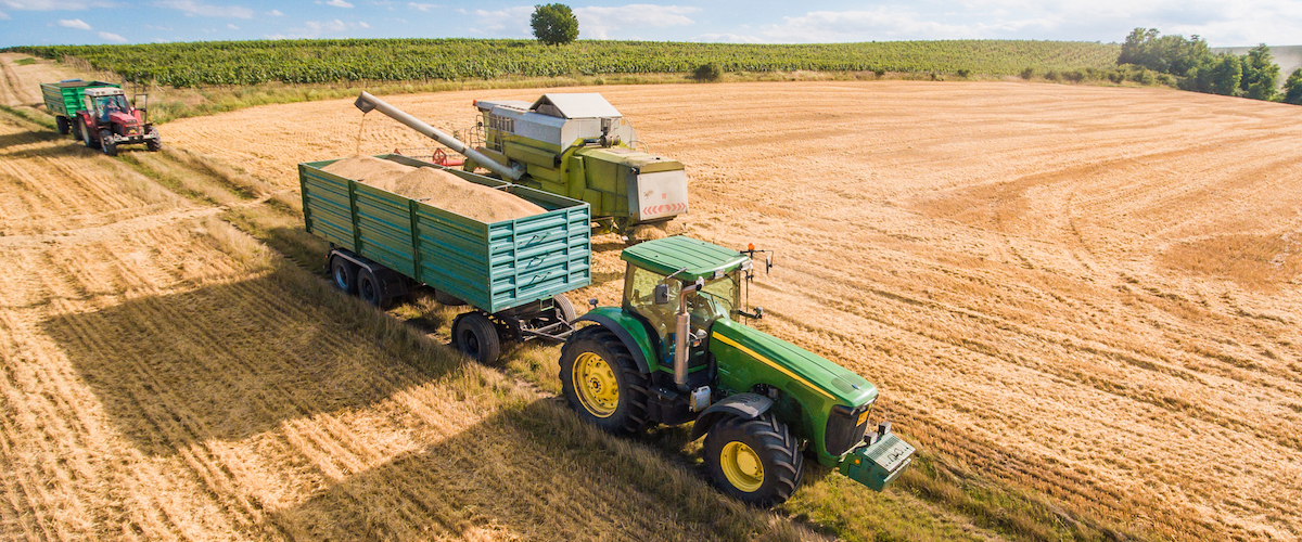
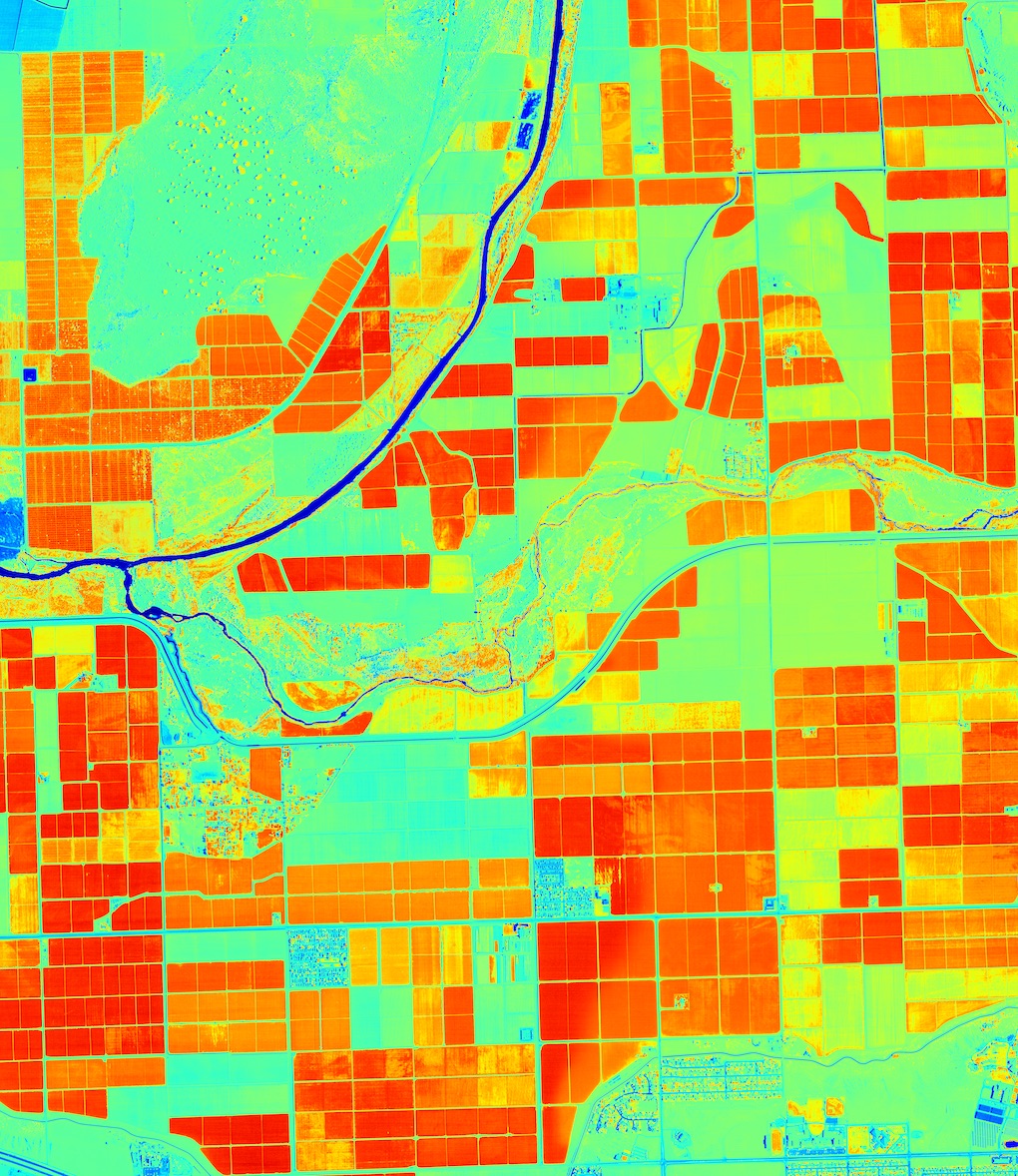
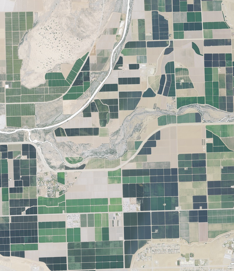
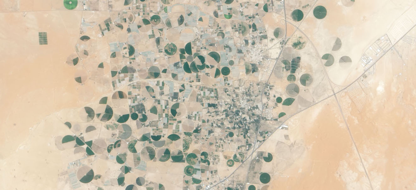
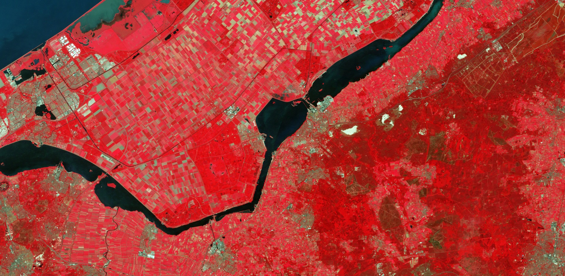
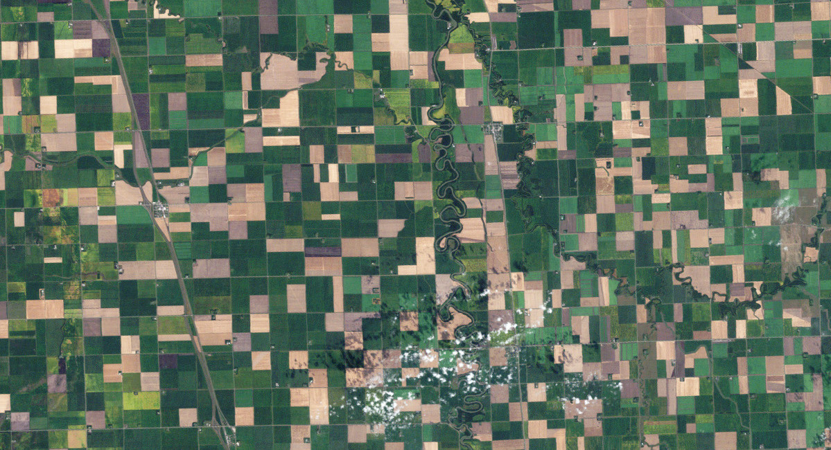
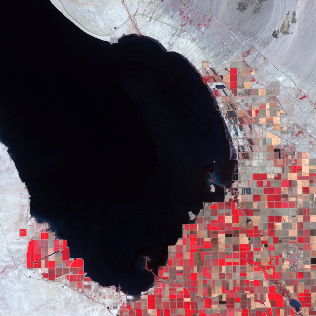
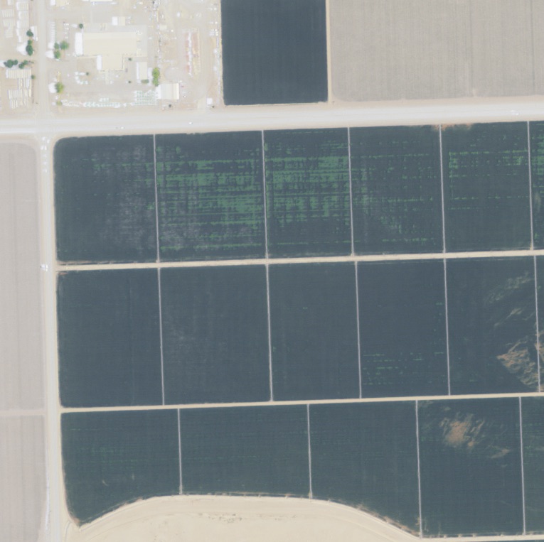
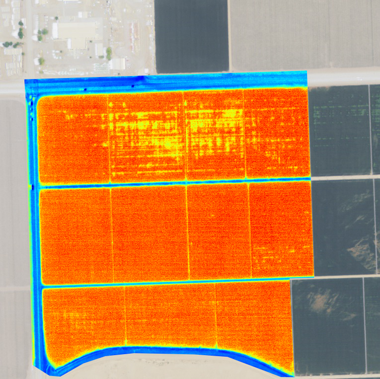
Precision Agriculture is all about smart-decision making. And decision making should be always based on pertinent timely data coming directly from your farm. By constantly monitoring farms from space, air and ground, CyStellar helps farmers and agronomists to have a clear understanding of what is happening in each individual field and during each crop growth stage. We transform the data into actionable insights and help farmers achieve their goals of optimising inputs, maximising yields, and improving sustainability.

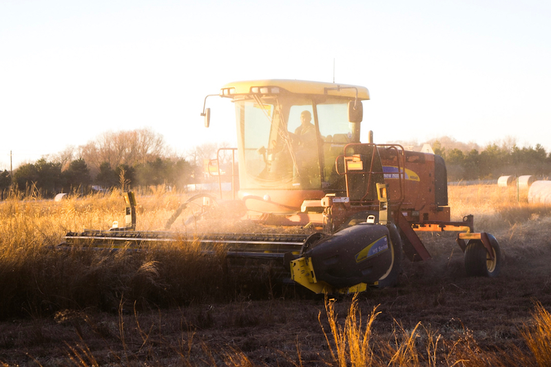
SOIL PREPARATION
- - Aerial (satellite & drone) Imagery and mapping
- - Evaluation of soil quality and fertility
SEEDING
- * Early identification of crop diseases
- * Identification of environmental stresses
- * Monitoring crop development and growth
CROP ESTABLISHMENT
- * Detection and Control of weeds and invasive species
- * Optimized use and distribution of chemicals
- * Water use, irrigation strategy
- * Plant nutrients dosage
HARVESTING
- - Yield forecasting
- - Control of crop diseases
- - Harvest planning
UP TO 20% PROFIT MARGIN INCREASE
VARIABLE RATE APPLICATION
A 5% TO 20% INCREASE IN YIELD
UNCERTAINITY REDUCTION
UP TO 40% COST REDUCTION
SUPPORT FOR JUST IN-TIME IRRIGATION


SOIL PREPARATION
Measures the ambient temperature
HUMIDITY SENSOR
- Measures the moisture levels in the environment.
LEAF WETNESS SENSOR
- Detects leaf wetness and ice formation in plant canopies resulting from rainfall, irrigation, and/or dew.
ATMOSPHERIC PRESSURE SENSOR
- Barometric pressure sensors measure the absolute pressure of the air around them. This pressure varies with both the weather and altitude.
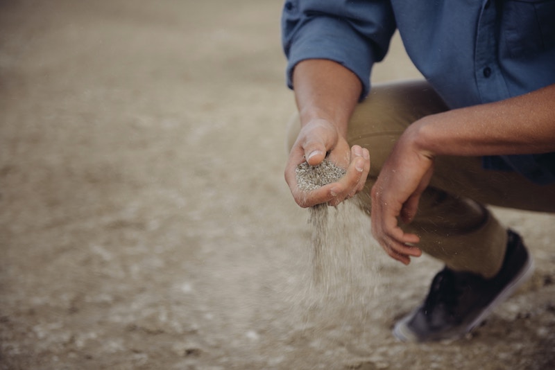
SOIL TEMPERATURE AND MOISTURE SENSOR
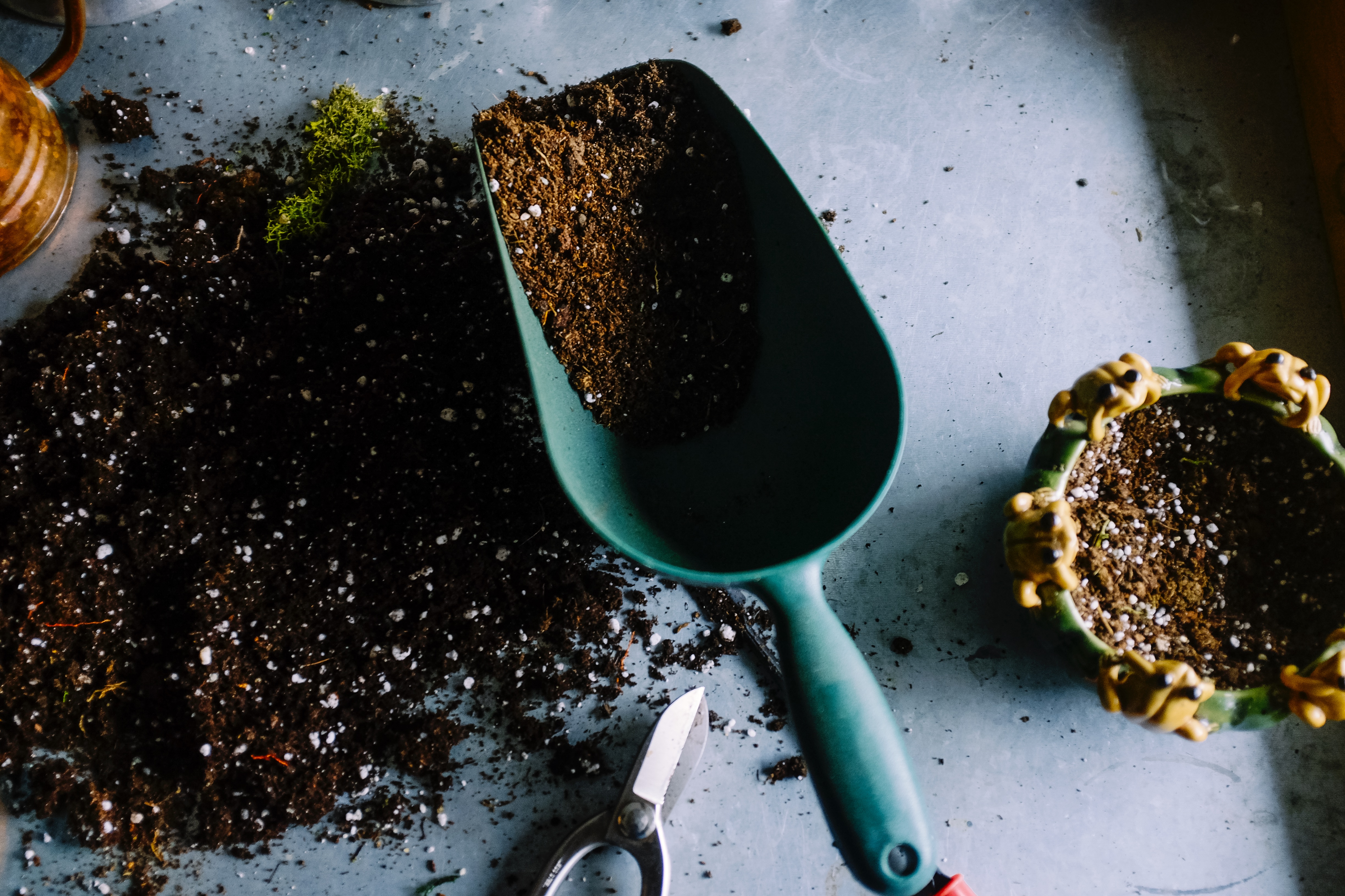
- It measures the soil temperature and volumetric water content in the soil on the basis of the dielectric constant of the soil. The data is useful to proceed with the irrigation.
SOLAR RADIATION AND ULTRAVIOLET RADIATION SENSOR
- Measures solar radiation for evapotranspiration (ET) and UV sensor that reveals UV rays which affect the plant growth and the control of pathogens.
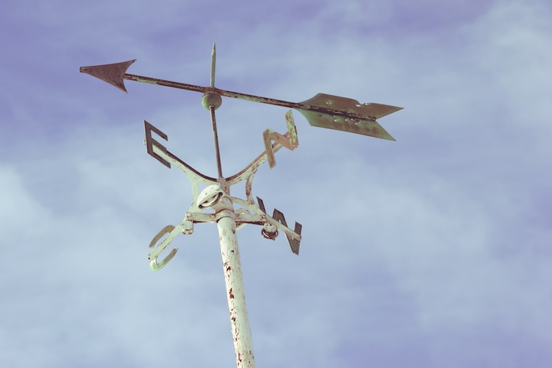
WEATHER STATION: ANEMOMETER, PLUVIOMETERN, WIND VANE
- Anemometers, barometers, a thermo-hygrometers and rain gauges in order to reveal wind, atmospheric pressure, temperature, relative humidity, dew point, frost and rainfall used to optimize irrigation and treatments
SOIL CHEMICAL COMPOSITION SENSOR
- Electrochemical sensors for estimating soil nutrient levels and pH levels.

